
What Is Survey Control and Why Does It Matter on a UK Construction Project?
Survey control is the reference framework every setting out decision on your project is built from. Get it wrong — or skip verifying it — and every measurement derived from it carries the same error. This guide explains what a control network is, how it should be established and verified, and what the programme and commercial consequences are when it isn't

What Evidence Protects You After a Utility Strike on a UK Infrastructure Project?
Utility strikes create commercial and legal risk. We explain what documentation and verification protect contractors and how PAS 128 surveys support excavation defence on UK projects.

What Is a GPR Survey and How It Fits Into PAS 128 (UK Guide)
Most clients ask for a 'GPR survey' when what they actually need is PAS 128 detection. This guide explains what GPR can and can't do, how it fits into Type B investigations, and what a proper survey pack should include.

Who Signs the Permit to Dig — and What Should Be Verified First? (UK Guide)
The Permit to Dig process protects excavation works on UK civils projects. We explain who signs it, what must be verified and how to reduce underground service risk before breaking ground.

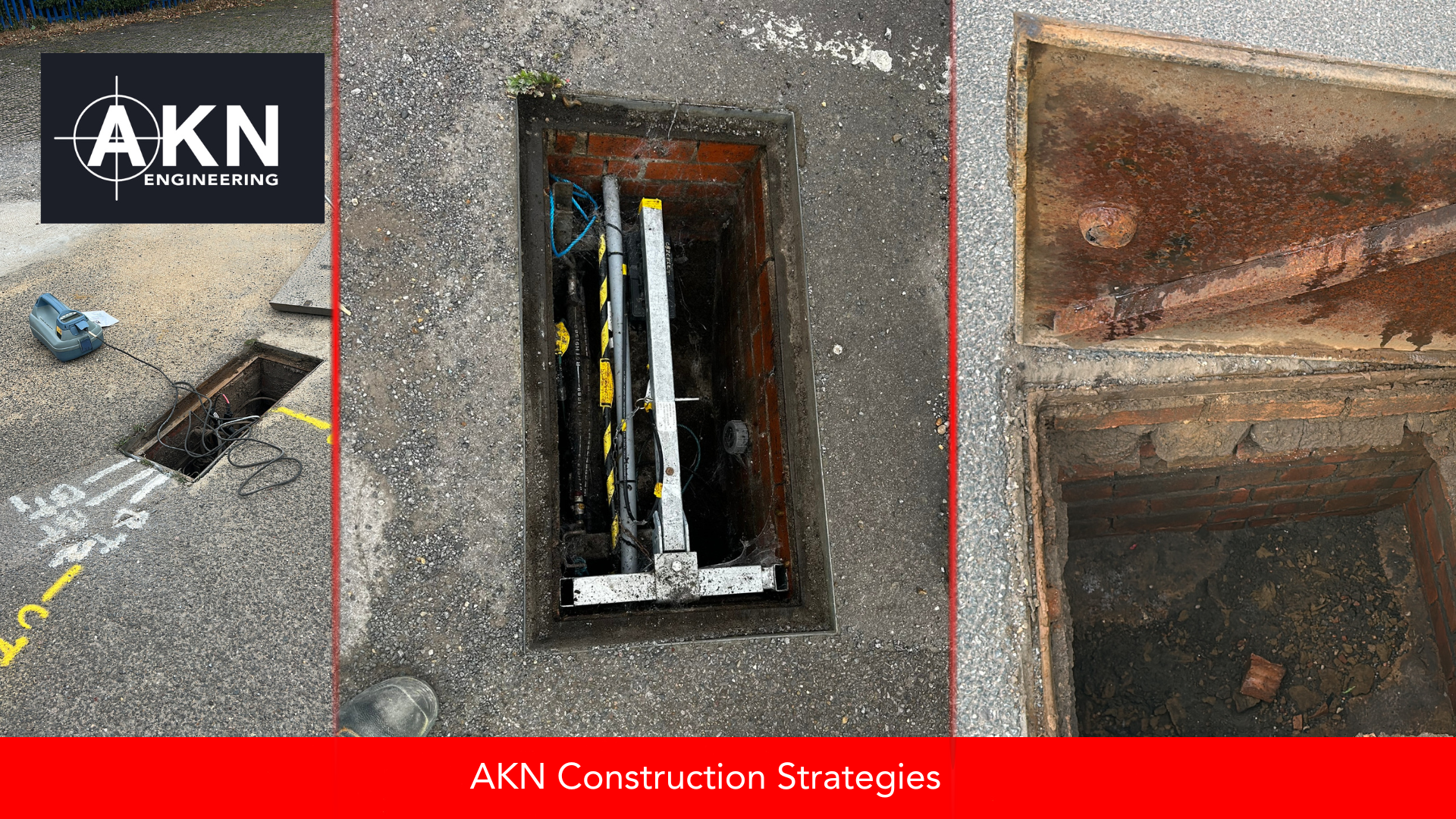
Who Is Responsible for Underground Utilities on a UK Civils Project?
Confusion around underground utility responsibility is a major cause of delay on UK civils projects. We explain who owns what and how early coordination protects programme and safety.
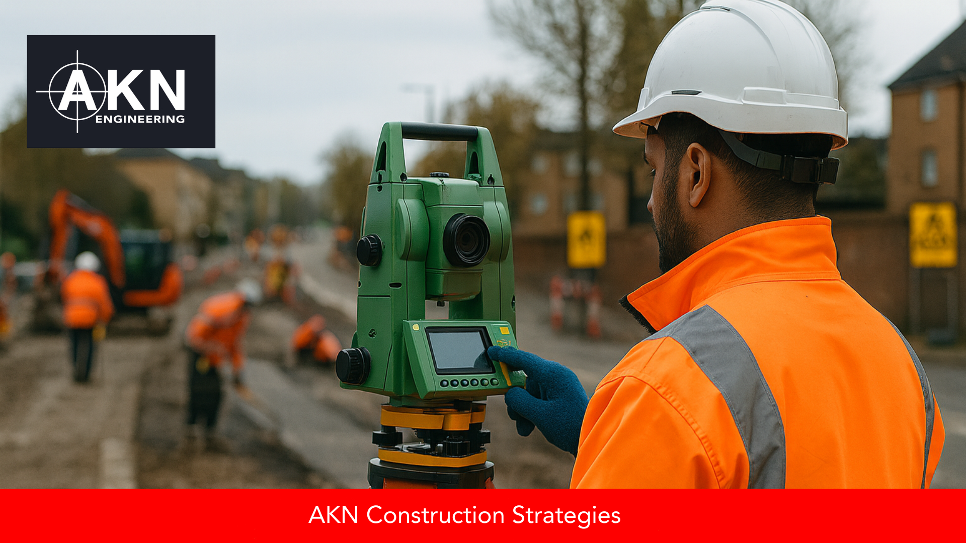
How Accurate Is a Total Station on UK Civils Projects?
Total stations can achieve millimetre accuracy — but only with verified control and proper setup. We explain what affects real-world survey precision on UK highway and civils projects.

What Happens to Survey Data After Site – and What Should You Receive? (UK Guide)
Survey data only becomes valuable when processed into structured deliverables. We explain how UK projects turn field measurements into topo, as-built and PAS outputs that can be relied on for design, valuation and handover.
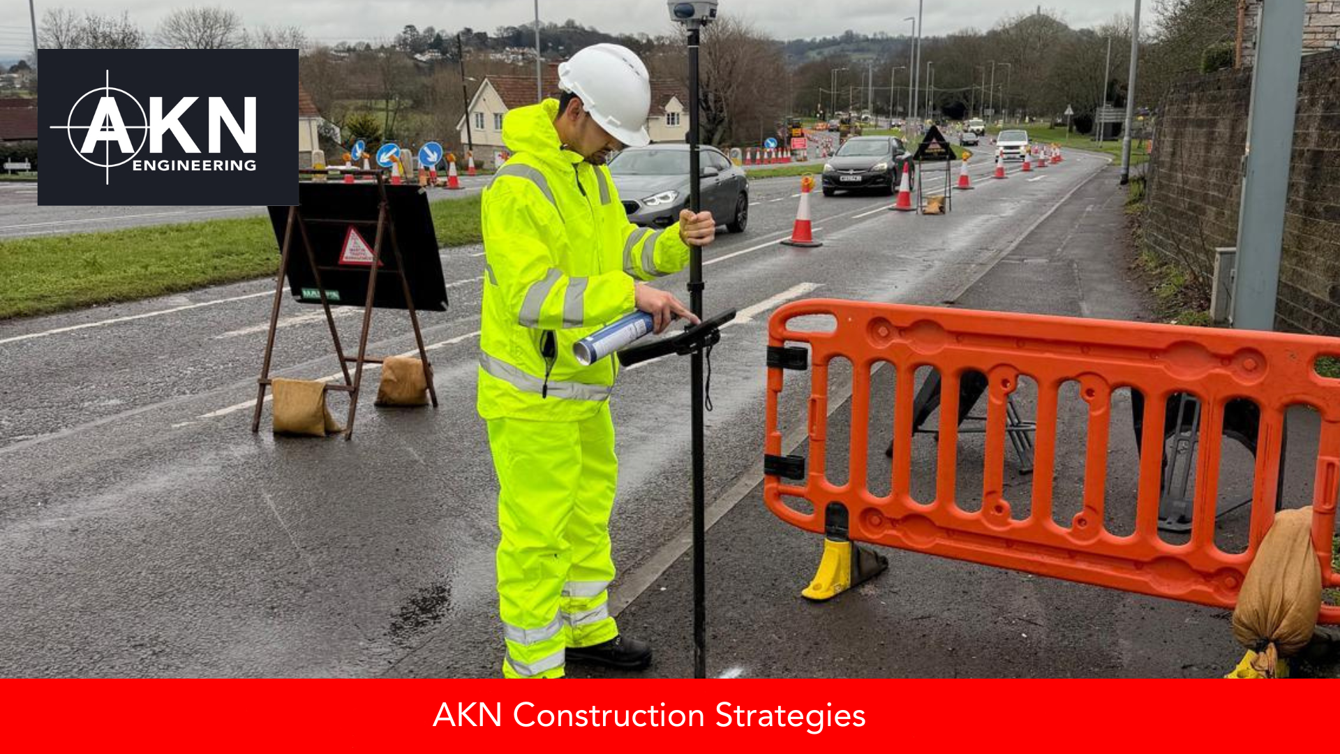
Survey Control on UK Projects: Why It Matters and How to Get It Right
Survey control underpins accuracy on UK civils and highways projects. We explain what control is, why it matters, who owns it, and simple ways to avoid costly errors during setting out, as-built measurement, and handover.

Site Engineer vs Surveyor in the UK – What’s the Difference and Why It Matters
Site Engineers, Setting Out Engineers and Surveyors are often treated as interchangeable, but on UK civils projects the differences matter for competence, documentation and delivery. This guide explains the roles clearly and why it matters for contractors, PMs, QSs and international engineers.
How Long Does a Full Utility Survey Typically Take – and When Should It Be Scheduled?
Utility surveys are one of the simplest ways to de-risk excavation, drainage or piling — but only if they’re scheduled early. In this guide, we break down how long a full PAS 128 utility survey really takes, what happens on-site vs during CAD processing, and when it should sit within your programme to avoid redesign, service strikes and stand-down costs.
When Winter Utility Surveys Work (And When They Don't)
Winter utility surveys can be a smart planning move when sites are accessible and diversion lead times are critical. This guide explains when PAS 128 surveys work well in winter, when weather creates real limitations, and how contractors can plan ahead for early-2026 projects.

What Do PAS 128 Survey Types (M1, M2, B, C, D) Mean – and Which One Do You Need for Your Project?
PAS 128 survey types can be confusing if you’re not working with them day-to-day. This guide breaks down M1, M2, B, C and D in simple terms so project managers, engineers and contractors can choose the right survey level and manage underground utility risk confidently.
PAS 128 Explained: A Practical Guide for Contractors, PMs & Site Engineers
PAS 128 sets the standard for underground utility surveys in UK construction. This guide explains what each survey type means, how to interpret confidence levels, and how PAS 128 helps reduce risk on highways and civils projects before you break ground.

Understanding Pot-Ended & Abandoned Cables: Why They’re Almost Impossible to Detect (And What That Means for Your Site)
Pot-ended and abandoned cables are some of the hardest buried services to identify. This blog explains why standard detection methods can’t locate them, what this means for PAS 128 surveys, and how project teams can plan safer excavations despite these limitations.

Behind the Scenes: How AKN Verifies As-Built Survey Accuracy Before Delivery
Before any as-built report leaves our office, it goes through a detailed internal verification process. Here’s how AKN Engineering ensures accuracy and consistency before client sign-off.

How to Avoid Costly Delays When Setting Out Kerb Lines on Site
Many contractors still set out kerb lines manually to save money — but it’s costing them weeks in delays. Here’s what really happens when you compare DIY setting out with a one-day professional approach.

What Project Managers Should Understand About Survey Scope (Before the Project Starts)
Most design problems and on-site delays come from one thing: the wrong survey scope. Here's what project managers should understand about topographical and utility surveys before a project starts — and why RICS accuracy bands and PAS 128 Quality Levels matter.

What Is the Most Accurate Equipment for Setting Out Large Highways Projects?
Not all equipment is equal when it comes to setting out highways projects. Learn which instruments deliver the highest accuracy and why — plus how AKN Engineering ensures every design line is built right.

GPR Limitations Explained: Why It Detects Disturbances (Not Every Utility)
GPR surveys can’t see everything — they detect disturbances and metallic objects beneath the surface. Learn why a layered approach gives safer, more accurate results on UK construction sites.

National Security Underground: The Utilities You’ll Never See on a Plan
Not everything beneath the surface is meant to be found. Some underground utilities are classified — hidden for national security reasons. Learn how utility surveyors identify the invisible networks that keep the UK running safely without ever appearing on a plan.


