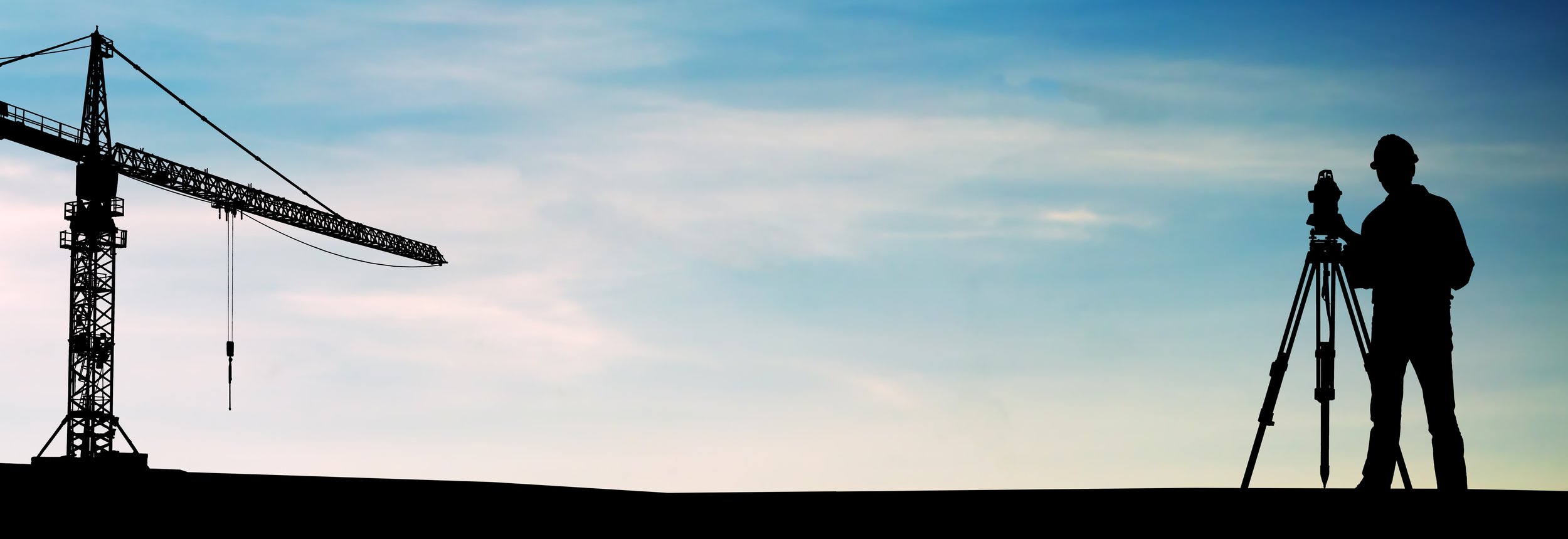
3D LASER SCANNING SURVEYS
HERTFORDSHIRE, ESSEX, LONDON & THE SOUTH EAST
CALL US: 01279 927 033
ACCURATE POINT CLOUD CAPTURE FOR ARCHITECTS, ENGINEERS AND CONSTRUCTION TEAMS
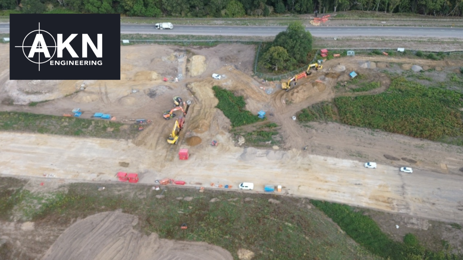
AKN Engineering provides 3D laser scanning surveys for architects, structural engineers, contractors and developers across Hertfordshire, Essex, North and East London, Kent, Surrey, Suffolk, Cambridgeshire and the wider South East.
When a project demands precise existing condition data — for a refurbishment, a complex structural assessment, a heritage recording or a BIM workflow — 3D laser scanning provides a level of accuracy and completeness that traditional survey methods cannot match. AKN captures that data using Trimble X9 laser scanning equipment, delivering registered point cloud datasets and accurate CAD drawings ready to work from immediately.
AKN holds Constructionline Gold and SSIP accreditation and works regularly alongside architectural practices, structural engineers, contractors and developers on projects of all scales.
WHAT IS A 3D LASER SCANNING SURVEY?
A 3D laser scanning survey uses LiDAR (Light Detection and Ranging) technology to capture millions of precise spatial measurements in seconds. The scanner fires a laser beam and measures the return time and angle for each point, building up a dense, three-dimensional dataset called a point cloud.
The resulting point cloud is an accurate digital replica of the physical environment — every surface, wall, beam, column, ceiling, floor and structural element captured in precise spatial relationship to everything else.
This data can then be used to produce accurate 2D CAD drawings, 3D models and BIM-compatible outputs, scan-to-BIM deliverables in Revit, as-built records, and digital twins for design and planning teams. All deliverables are produced in industry-standard formats compatible with AutoCAD, Revit and other design software.
Want to discuss a project? Call us on 01279 92703
WHEN IS 3D LASER SCANNING USED?
3D scanning is especially valuable where accuracy, complexity or speed of capture are critical. It is frequently used where manual measurement would be time-consuming, impractical or insufficiently accurate.
Architectural Design and Refurbishment
Architects require reliable existing building information before beginning design work. 3D scanning produces accurate floor plans, elevations and sections directly from real site data, removing the uncertainty of builders' measurements or outdated drawings.
Heritage and Listed Buildings
Historic buildings often have complex irregular geometries and limited documentation. Laser scanning captures these environments safely and without contact, producing a precise digital record suitable for heritage applications, listed building consent submissions and detailed conservation work.
Structural Engineering and Analysis
Structural engineers can analyse load-bearing elements, identify deflection, assess alignment and verify dimensions using accurate point cloud data rather than relying on estimated or interpolated measurements.
Complex Industrial and Plant Environments
Factories, plant rooms, mechanical spaces and infrastructure assets can be captured quickly and completely, including areas that are difficult or time-consuming to physically access and measure by hand.
Construction Verification and As-Built Records
Contractors use 3D scanning to verify that structures have been installed correctly and match design specifications. Point cloud data provides an objective, measurable record of what was built.
Scan to BIM Workflows
Point cloud data from the site is used to produce accurate 3D BIM models in Revit or similar platforms, providing design teams with a model that reflects the true existing condition of a building rather than design intent.
Want to discuss a project? Call us on 01279 927033
DELIVERABLES FROM A 3D LASER SCAN
Depending on project requirements, AKN can provide:
✅ Registered point cloud datasets (.RCP, .E57 or .LAS format)
✅ 2D CAD drawings — floor plans, elevations, sections, roof plans (AutoCAD DWG and PDF)
✅ 3D models for BIM workflows (Revit-compatible geometry on request)
✅ Scan-to-BIM deliverables
✅ Measured building drawings produced from scan data
✅ Digital site models for design and planning teams
Where a practice uses Revit or requires BIM-compatible outputs, this can be discussed and agreed at the quotation stage. All CAD deliverables use consistent layer naming and are georeferenced where required.
Find out more about how we work… Call us on 01279 927033
SURVEY EQUIPMENT AND APPROACH
We understand how architects and engineers work and what the data needs to do.
When briefing AKN on a 3D scanning survey, the more context you can give us about the project — whether it is a loft conversion, a complex commercial refurbishment, a structural investigation or a BIM-enabled development — the better we can tailor the scan scope, resolution and deliverable format to your requirements.
We produce layered AutoCAD drawings with consistent layer naming, georeferenced where required, and drawn to standard architectural scales (1:50 and 1:100 as default). Point cloud data is supplied in industry-standard formats. Drawings are issued as DWG with a PDF set included.
Where projects require a full measured building survey alongside the 3D scan data, this can be combined into a single site visit, avoiding a second mobilisation and reducing overall survey cost.
Want to discuss a project? Call us on 01279 927033
WORKING WITH DESIGN AND CONSTRUCTION TEAMS
We understand how architects and engineers work and what the data needs to do. When briefing AKN on a 3D scanning survey, the more context you can give us about the project — whether it is a loft conversion, a complex commercial refurbishment, a structural investigation or a BIM-enabled development — the better we can tailor the scan scope, resolution and deliverable format to your requirements.
We produce layered AutoCAD drawings with consistent layer naming, georeferenced where required, and drawn to standard architectural scales (1:50 and 1:100 as default). Point cloud data is supplied in industry-standard formats. Drawings are issued as DWG with a PDF set included.
Where projects require a full measured building survey alongside the 3D scan data, this can be combined into a single site visit, avoiding a second mobilisation and reducing overall survey cost.
TRUSTED BY


WHY CHOOSE AKN ENGINEERING FOR 3D LASER SCANNING
✔️ Trimble X9 equipment — professional-grade scanner delivering point cloud accuracy within 3mm
✔️ Constructionline Gold and SSIP accredited — commonly required for supply chain approval
✔️ Experienced survey team — data checked and verified by qualified surveyors
✔️ CAD-ready deliverables — layered DWG files at standard architectural scales, issued with PDF set
✔️ BIM-compatible outputs — Revit-compatible geometry available on request
✔️ Fast turnaround — drawings typically delivered within 3–5 working days of the site visit
✔️ Combined survey capability — 3D scanning combined with measured building or topographic surveys in a single visit
✔️ Local knowledge — based in Bishop's Stortford, operating across Hertfordshire, Essex, London and the wider South East
FAQs
-
Using Trimble X9 laser scanning, AKN achieves point cloud accuracy well within 3mm at standard indoor survey distances. CAD drawing accuracy for standard floor plans and elevations is typically ±5mm depending on building complexity. For heritage or highly detailed structural work, tighter tolerances can be discussed at the quotation stage.
-
A point cloud is a three-dimensional dataset made up of millions of spatial measurement points captured during a laser scan. Each point has an X, Y and Z coordinate in space. When combined, these points form a precise digital representation of the physical environment that can be used to produce drawings, 3D models and BIM outputs.
-
Point cloud data is delivered in .RCP, .E57 or .LAS format as standard. CAD drawings are delivered as AutoCAD DWG plus PDF. If your practice requires Revit-compatible geometry or specific BIM outputs, let us know at the start of the project.
-
Yes. Laser scanning is one of the most accurate and efficient methods for producing measured building surveys. Floor plans, elevations, sections and roof plans can all be produced directly from point cloud data captured on site.
-
Yes. Laser scanning is non-contact and non-intrusive, making it particularly well-suited to sensitive, listed and protected buildings. We regularly survey heritage structures requiring detailed recording for conservation, planning or restoration purposes.
-
Yes. Point cloud data from the site can be modelled into a 3D BIM-compatible model in Revit or equivalent platforms, depending on project requirements. This is particularly useful for complex refurbishments, extensions and developments where an accurate existing-condition BIM model is required for design work.
-
Most standard commercial and residential buildings can be scanned within a single day on site. Large multi-storey buildings, complex industrial facilities or sites requiring very high scan density may require two days. We confirm the programme when reviewing the project brief.
-
Processed point cloud data and CAD drawings are typically delivered within 3–5 working days of the site visit for standard properties. We confirm the turnaround at the time of instruction.
-
Not usually. For most projects we can provide a fixed fee quotation based on a description of the building, its size and the deliverables required. We will ask the right questions upfront to ensure the scope and fee are accurate before any site visit is confirmed.
-
Yes. Where site topography or a full measured building survey is also required, we can carry out the work on the same visit, avoiding a second mobilisation and reducing overall survey cost.
-
Yes. We regularly work across North and East London boroughs as well as our core areas of Hertfordshire and Essex. The M25 corridor and Greater London fringe are well within our regular working area.
-
Yes. AKN holds Constructionline Gold and SSIP accreditation. These are commonly required by architectural practices and main contractors as a minimum for supply chain approval.

LOCATIONS WE COVER
HERTFORDSHIRE
BEDFORDSHIRE
CAMBRIDGESHIRE
NORTHAMPTONSHIRE
LONDON
ESSEX
KENT
OXFORDSHIRE
BERKSHIRE
NORFOLK
SUFFOLK
LINCOLNSHIRE
RUTLAND


Request a Quote
Ready to request a quote for a 3D Laser Scanniing survey?
Fill out the form below, and you can expect to hear from us within 24 hours.
(If you do not receive a response within 24 hours (Mon-Fri) please email office@aknengineering.co.uk)
Book Your 3D Scanning Survey Today
Prefer to speak? Call us on
01279 927033
Related Survey Services
For projects requiring accurate existing condition drawings as a standalone service, see our measured building survey services.
For new-build and infrastructure projects requiring topographic site data, see our topographic survey services.
For construction verification and handover documentation, see our as-built survey services.
Our Services
Wondering what else we can help with?
Explore other services we offer by clicking the button below
