PAS 128 Explained: A Practical Guide for Contractors, PMs & Site Engineers
If you work in construction, highways, or utilities, you’ve probably heard of PAS 128 utility surveys. But what does PAS 128 actually mean on a live site—and how do you use it to manage risk, avoid service strikes, and keep your programme moving?
As an experienced site engineer and business owner delivering utility surveys, setting out, and highways projects across Hertfordshire, Essex, Cambridgeshire and the East of England, here’s my practical breakdown of how PAS 128 works and what you should expect from a compliant survey.
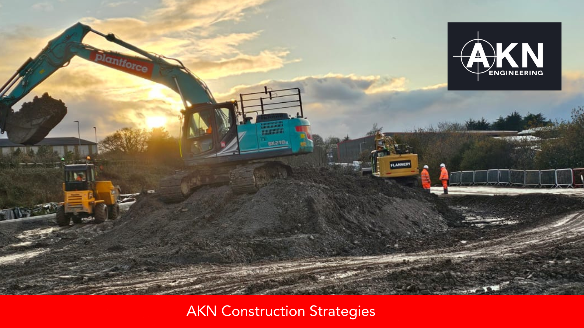
Accurate PAS 128 utility data is essential before any groundworks begin. Our Hertfordshire teams rely on clear detection, verification and documentation to keep excavation safe and programmes moving—even on complex, fast-paced sites like this one.
What Is PAS 128?
PAS 128 is the UK’s standard for underground utility detection surveys. It outlines how utilities should be located, verified, and recorded before construction starts. The aim is simple: improve accuracy and reduce the risk of hitting unknown services.
The standard is supported by good practice guidance from the HSE, which explains how duty-holders should avoid underground service strikes (as stated in the HSE guidelines.
The GOV.UK collection on street works and statutory undertakers also explains responsibilities and processes relating to buried services (as outlined on here.
For a wider overview of underground utility mapping standards, the British Standards Institute provides a public summary of PAS 128 and you can also find a case study from there here.
In real terms, PAS 128 ensures everyone—from project managers to site teams—knows what level of confidence they can place in the utility information provided.
Why PAS 128 Matters for Your Project
Construction delays caused by unexpected utilities are expensive. A damaged cable or water main can stop a job for days, trigger compensation events, or require redesigning. A PAS 128 survey helps you:
Reduce safety risks on site
Get a realistic understanding of underground constraints
Plan excavation and service diversions
Keep design teams aligned
Avoid strike-related delays and costs
For contractors running highways, civils, or housing projects, it’s one of the most cost-effective early-stage checks you can do.
Understanding PAS 128 Survey Types
A key feature of PAS 128 is its survey classifications. These tell you how the data was gathered and what confidence level the survey provides.
1. Desktop Search (D Type)
A PAS 128 D Survey gathers statutory records from utility providers. Useful for planning, but not accurate enough for excavation on its own.
2. Site Reconnaissance (C Type)
A visual inspection of the site. The surveyor checks manholes, covers, visible apparatus and ground features. Good for early design but still not excavation-ready.
3. Detection (B Type – Most Common)
This is where GPR (Ground Penetrating Radar) and EML (Electromagnetic Locators) are used to detect buried services.
Levels include:
B1P – highest confidence
B2 – standard detection
B3 – basic detection due to constraints
This is the AKN Engineering core service for highways and civils projects.
Read more here about what to ask your engineering team before breaking ground.
4. Verification Surveys (A Type)
Utilities are physically exposed and surveyed to confirm exact position and depth. Used when accuracy must be guaranteed—typically on major civils or high-risk excavation packages.
What a PAS 128 Survey Will (and Won’t) Tell You
A PAS 128 survey provides clarity, but it also has limits.
PAS 128 WILL:
Locate most metallic utilities
Detect many non-metallic pipes using GPR
Provide depth estimates
Highlight anomalies
Give confidence classifications
PAS 128 WILL NOT:
Guarantee detection of all plastic pipes
Penetrate all ground conditions
Identify abandoned or dead services
Replace safe excavation practices
More detailed professional guidance is available from the ICE on buried services work.
How PAS 128 Supports Better Decision-Making
From planning to handover, PAS 128 supports:
Safer excavation
Better temporary works planning
Reduced design changes
Aligning subcontractors and utilities teams
Producing accurate as-built records later
At AKN Engineering, we combine PAS 128 methods, GPR, EML, and precision topographical survey data to help contractors make informed decisions—especially on highways and infrastructure schemes.
👉 Ready to Book Your PAS 128 Survey?
Visit our Utility Survey Page and complete the enquiry form or call ☎️ 01279 927 033 to discuss your next project.