

3D Scanning and Setting Out — The Case for Using Both on a UK Construction Project
Setting out and 3D laser scanning do different jobs, and on most projects you want both. Setting out puts the design into the ground accurately; 3D scanning verifies what was actually built and captures it as a measurable record. Used together, they close the loop between design and reality — catching errors early, confirming tolerance, and giving you a defensible as-built record at the end.
For contractors and QSs across Hertfordshire, Essex, East Anglia and Cambridgeshire, treating the two as one combined survey capability — rather than separate line items — is where the commercial value sits. Here's why.
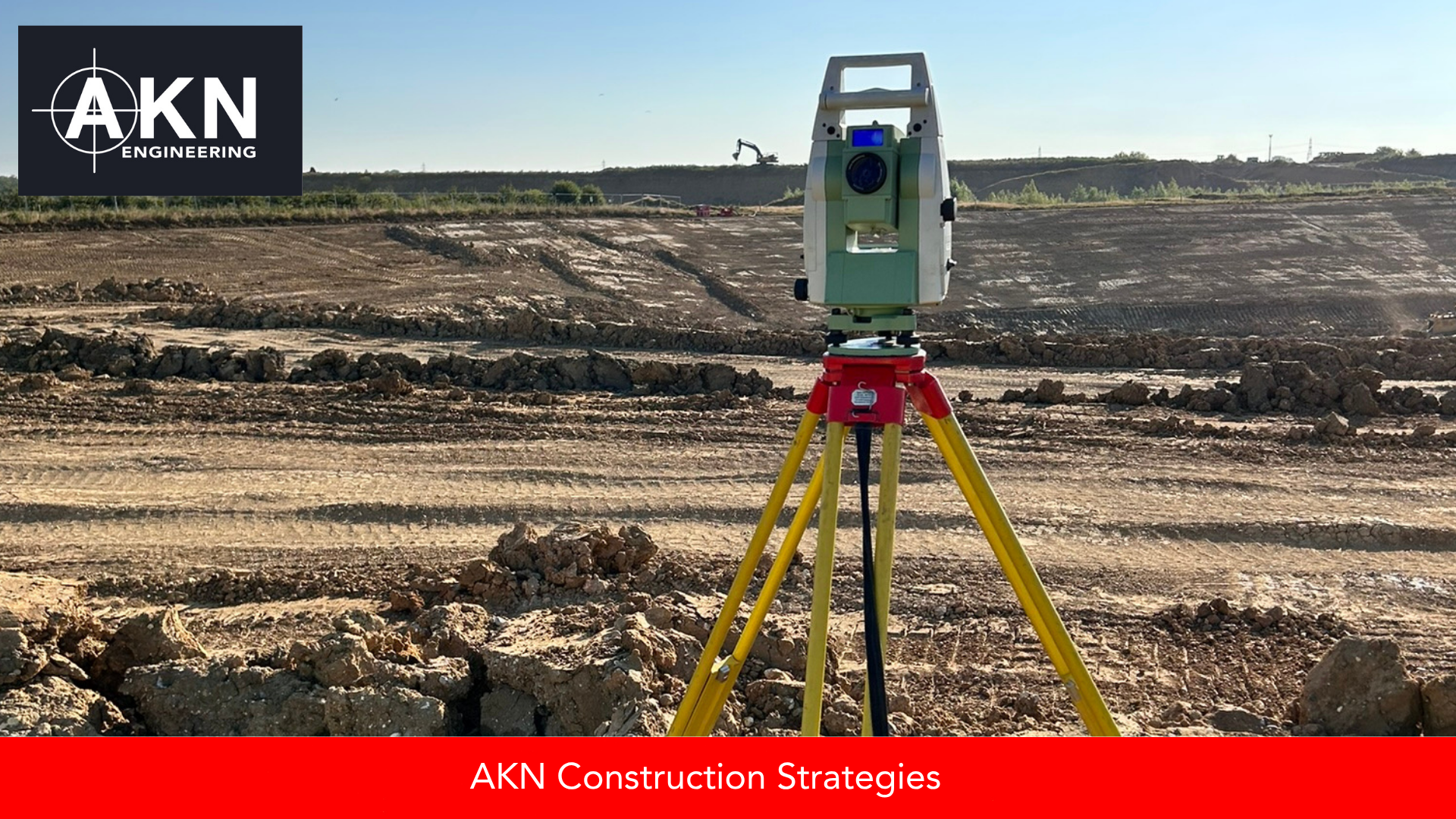
Total station setting out on a UK earthworks programme — precision positioning derived from a verified control network, working in parallel with 3D laser scan data captured at the same stage. Used together, scanning and setting out produce a spatial dataset that covers both existing conditions and constructed positions with no gaps between them
Setting out and 3D scanning — two halves of the same job
Setting out is forward-looking: it takes the design and marks where things go before they're built. 3D scanning is backward-looking: it captures what exists — the ground, the structure, the completed works — as a dense, accurate point cloud. One tells the trades where to build; the other confirms what they built. On a live project, you need both directions.
What setting out does
A site engineer establishes and maintains the control network and sets out foundations, structures, drainage and levels to the design. Traditional setting out and measurement typically works to around ±5–10mm, which is the right tolerance for positioning the works as they're built. It keeps the trades accurate and the programme moving.
What 3D scanning adds
A 3D laser scan captures millions of measured points to roughly ±2–3mm, producing a point cloud you can measure against at any time. That verification is powerful: you can compare the as-built against the design model, confirm a structure is within tolerance before the next package commits to it, and detect clashes before they reach the working face. It also produces the as-built record that protects you at final account.
On AKN projects the scan data is captured with a Trimble X9 and processed in Trimble RealWorks, producing a point cloud and CAD or Revit-ready outputs.
The case for using both on a project
Set out the works, then scan to verify — and you catch problems while they're still cheap to fix. A discrepancy picked up in a point cloud before the follow-on package starts is a coordination note; the same discrepancy found after is a variation. Combining setting out and scanning under one team means one control network, one consistent standard, and a single accountable point from the first peg to the final as-built.
Working with AKN Engineering
AKN Engineering provides both precision setting out and 3D laser scanning across Hertfordshire, Essex, East Anglia and Cambridgeshire — from the same team, to one control network. That means the works are set out accurately and verified against the design, with as-built records produced from high-accuracy scan data.
To discuss combined setting out and 3D scanning on your project, speak to AKN Engineering.