

PAS 128 Utility Surveys: What the Standard Actually Requires
PAS 128 is the BSI specification for underground utility detection, verification and location. It defines four survey quality levels and sets out how each must be carried out and recorded. A PAS 128 survey gives you a defined, defensible level of confidence in where buried services are — rather than a best guess based on record drawings that are often incomplete or wrong.
For anyone planning excavation across Hertfordshire, Essex, East Anglia and Cambridgeshire, understanding what the standard actually requires is the difference between commissioning a survey that protects you and one that ticks a box. Here is what PAS 128 specifies.
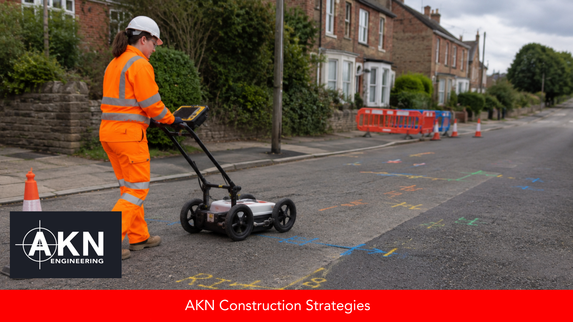
Detection, not assumption. GPR and electromagnetic location find what's actually in the ground and record it to a defined level of confidence — the difference between a utility survey that ticks a box and one that genuinely protects your dig.
What is PAS 128?
PAS 128 is a publicly available specification published by BSI that standardises how underground utility surveys are carried out, classified and reported. Before it existed, "utility survey" could mean almost anything; PAS 128 gives the term a defined meaning and quality levels that everyone can specify against. More on BSI standards at bsigroup.com.
The four quality levels explained
Type D — Desktop utility records search. Existing records gathered and reviewed. The starting point, but only as accurate as the records themselves.
Type C — Site reconnaissance. Records correlated with visible site features such as covers, markers and apparatus. Adds confidence but no detection.
Type B — Detection. Geophysical methods — typically GPR and electromagnetic location (EML) — used to detect and trace buried services on site. This is where utilities are actually located rather than assumed.
Type A — Verification. The position of a utility verified by physical means, such as a trial hole, giving the highest level of confidence.
What compliant actually requires
A PAS 128 survey is not just a matter of walking a site with a detector. The standard specifies how detection is carried out, the confidence and accuracy that can be claimed at each level, and how results are recorded and presented — including the quality level assigned to each located utility. A compliant survey tells you not only where a service is, but how confident you can be in that position. That distinction is the whole point of the standard.
Why the quality level matters before you excavate
Different work needs different confidence. A feasibility study might be served by Type D records; an excavation next to a high-pressure main needs Type B detection and often Type A verification. Specifying the right quality level is a risk decision: too low and you are digging on assumptions, too high and you are paying for verification you do not need. Understanding the levels lets you match the survey to the actual risk of the dig.
PAS 128 and safe digging
PAS 128 sits alongside the HSE's guidance on avoiding danger from underground services, HSG47, which sets out safe-digging practice. A good utility survey supports that guidance — but it only protects people if the findings reach the team doing the excavation. The full HSG47 guidance is at hse.gov.uk/pubns/books/hsg47.htm.
Working with AKN Engineering
AKN Engineering carries out PAS 128 utility surveys across Hertfordshire, Essex, East Anglia and Cambridgeshire, using GPR and electromagnetic location to detect and record buried services to the quality level your project needs. We help you specify the right level for the risk, and deliver results recorded to the standard so they stand up when it matters.
For a same-week PAS 128 quote, speak to AKN Engineering.