
GPR SURVEY
(GROUND-PENETRATING RADAR SURVEY)
When conventional detection methods aren’t enough — for non-metallic pipes, ducts, or complex substrates — our GPR Survey service steps in.
At AKN Engineering we offer an advanced ground-penetrating radar (GPR) service to detect, image, and map subsurface features, delivering clarity where others fail.
WHY USE GPR?
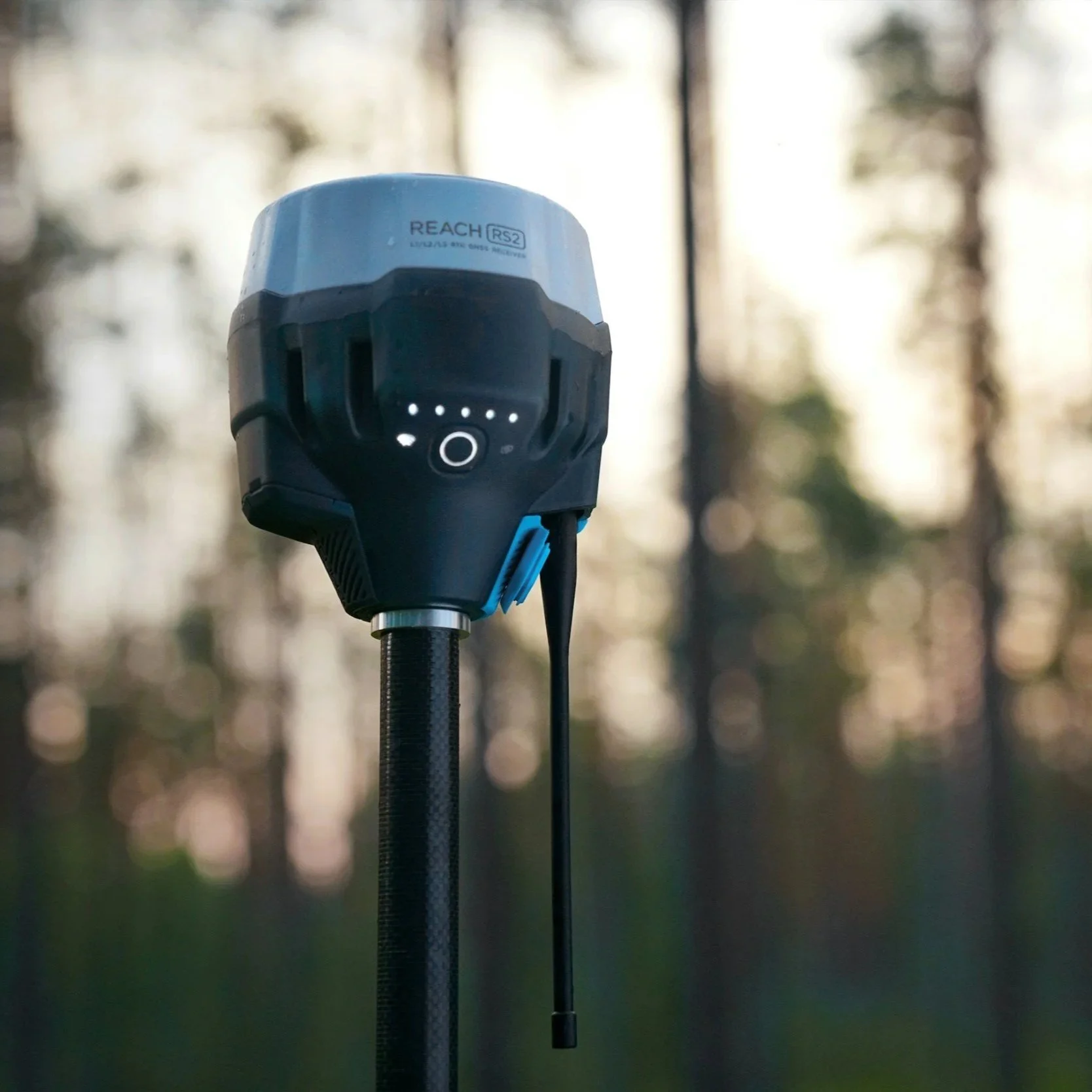
Ground Penetrating Radar (GPR) is a powerful tool that allows us to detect non-metallic or plastic pipes, ducts, voids, and buried structures with accuracy. It can penetrate through concrete slabs, pavements, and complex ground conditions, providing higher resolution subsurface imaging than many traditional methods. This makes GPR a reliable choice to support structural, civil, utility, and geotechnical projects.
Want to discuss a project? Call us on 01279 927033
WHAT WE DELIVER
Radar cross-sections, depth slices, and 3D radar volume
Annotated subsurface feature map integrated with your survey base
Interpretation report with confidence estimates
Guidance on anomalies and further validation (if needed)
OUR APPROACH AND TECHNOLOGY
We tailor our surveys to site conditions and your needs, using:
✅ Site scoping & calibration
Evaluate the soil dielectric, moisture, and survey constraints for optimum radar setup
✅ GPR data acquisition
We use multi-frequency antenna systems and carefully designed grid patterns
✅ Post-processing & interpretation
Filter, migrate, and extract usable depths and features
✅ Correlation & validation
Where possible, compare radar features to known utilities or confirm with spot excavation
✅ Deliverables
Produce maps, radar profiles, interpretative notes, and guidance
Our GPR team is fully trained, uses licensed equipment (where required), and follows best practice guidelines..
OUR CLIENTS


LOCATIONS WE COVER
HERTFORDSHIRE
BEDFORDSHIRE
CAMBRIDGESHIRE
NORTHAMPTONSHIRE
LONDON
ESSEX
KENT
OXFORDSHIRE
BERKSHIRE
NORFOLK
SUFFOLK
LINCOLNSHIRE
RUTLAND
WHAT YOU GET
UTILITY LOCATION AND SERVICE TYPE ANNOTATIONS
COMPLIANCE WITH CDM AND SITE HEALTH AND SAFETY REQUIREMENTS
DEPTH ESTIMATIONS
(Where possible)
OVERLAY ON TOPOGRAPHICAL SURVEYS
(If required)
COLOUR CODED DRAWINGS ALIGNED TO YOUR EXISTING CAD LAYERS
SUPPORTING PHOTOS AND SITE NOTES (AS NEEDED)
Prefer to speak? Call us on 01279 927033
FAQs
-
We can detect most metallic and some non-metallic utilities, including electricity, water, gas, telecoms, and drainage. GPR can also help locate ducts and voids
-
EML detects conductive utilities by tracing signals through metallic cables or pipes. GPR uses radar waves to identify buried features—including non-metallic services and obstructions.ce.
-
Yes—especially in urban or brownfield sites. A utility survey helps avoid accidental strikes, protects personnel, and ensures legal compliance with CDM Regulations.
-
Yes. We can carry out surveys to PAS 128 specification, providing clarity on detection methods, quality levels, and survey confidence.
-
We can usually attend within a few working days following a PAS 128 Type D Survey (Desktop Utility Records Survey).
-
Absolutely. We offer combined surveys to save you time and cost—giving you surface and subsurface data in a single, integrated package.
WHY CHOOSE AKN ENGINEERING FOR YOUR UTILITY SURVEY?
✔️ PAS 128-compliant utility mapping
✔️ GPR & EML-trained surveyors
✔️ Fast turnaround and flexible site attendance
✔️ Fully CAD-integrated deliverables
✔️ Excellent client support and communication
We regularly support main contractors, developers, architects, local authorities, and consultants. Need a combined topographical and utility survey? We can do that too, saving you time and money.
Book Your Utilities Survey Today
INeed clarity below the surface? Get in touch with our team for a free quote or to discuss the best survey method for your site. Click the button below and share your information and we’ll get back to you the same day
Prefer to speak? Call us on
01279 927033


OTHER WAYS WE CAN HELP YOU
SITE ENGINEERING
Site engineering services play a critical role in the construction process, providing expertise and support to ensure the successful execution of a project. These services encompass a wide range of activities, including site investigation, surveying, and topographical mapping. Site engineers work closely with the design team and construction crew to establish the necessary groundwork, determine the optimal layout, and oversee the implementation of plans on-site.
TOPOGRAPHICAL SURVEYS
Topographical surveys are detailed assessments of the natural and man-made features on a specific piece of land. These surveys provide crucial information about the elevation, contours, and physical characteristics of the site, including buildings, trees, bodies of water, and other relevant elements. By conducting topographical surveys, engineers and planners can gain a comprehensive understanding of the terrain, which is essential for making informed decisions during the design and construction phases of a project.
SETTING OUT
Setting out is a vital process in construction that involves marking the precise locations and dimensions of structures, roads, or other elements on a construction site. It ensures that the project is executed accurately and in accordance with the design plans. Surveyors and engineers use various tools and techniques to establish reference points, levels, and alignments, allowing construction teams to follow precise measurements and positioning during the building phase.
AS-BUILT SURVEYS
As-built surveys are conducted typically at the completion of a construction project to document the actual constructed conditions of the site and its improvements. These surveys serve as a comparison to the original design plans and specifications provided by the engineer during the planning phase. By conducting as-built surveys, engineers can ensure that the constructed elements align with the approved design and meet all required standards and regulations.
MACHINE CONTROL
Machine control for earth moving involves the creation of precise digital models and plans, which are then translated into real-time instructions for construction equipment. Through the integration of advanced technologies such as GPS, sensors, and software interfaces, these machines are guided to execute excavation and grading tasks with exceptional accuracy and efficiency, resulting in reduced material waste, optimised project timelines, and enhanced overall productivity in earth-moving operations.
The main goal of volume calculation is to find out a volume of material that was mined or heaped up in predefined area and to verify if the volume corresponds to the expected value stated in project documentation. The volume is determined by a difference of topographies from two survey phases or by a difference between the survey and the project documentation.
MACHINE CONTROL

Book Your Utility Survey Today
Need clarity below the surface? Get in touch with our team for a free quote or to discuss the best survey method for your site. Click the button below and share your information and we’ll get back to you the same day…