What We Do With Your Survey Data: From Field to Final Deliverable
When you book a topographical survey or ask us for an as built survey, what actually happens to the data we collect on site?
At AKN Engineering, we know that project managers, engineers and even students starting out in construction surveying often wonder what goes on behind the scenes. In this post, we’ll walk you through our typical processing pipeline—from gathering raw data on site to delivering a clean, clear CAD drawing that helps you move forward with confidence.
Whether you’re managing a highways project or planning a housing development, understanding this process can help you get more value out of your surveys—and avoid delays or rework later.
Step 1: Collecting Survey Data On Site
Our engineers begin by setting up survey control across your site using GNSS (Global Navigation Satellite Systems) or total stations, depending on access and visibility. Everything is georeferenced to the British National Grid (OSGB36) or your preferred site coordinate system.
Using equipment like the Leica TS16 total station and GS18 GNSS rover, we capture thousands of points, features and levels. Each item—kerbs, manholes, road markings, fences—is carefully coded and logged.
The aim here is simple: to make sure we collect all the relevant detail accurately and efficiently, so you’re not left chasing missing data.
Step 2: Transferring and Checking the Raw Files
Once we’re back in the office, we transfer the raw files from the equipment into our processing software. This could be Leica Infinity, AutoCAD Civil 3D, or other CAD packages—depending on the client’s requirements.
The first thing we do is a QA check:
Are all the points correctly coded?
Are the levels consistent across the site?
Are there any gaps or issues with data density?
If anything looks off, we flag it straight away—sometimes going back to site if needed. We won’t process poor data, because poor data leads to poor decisions.
Step 3: Creating the Digital Terrain Model
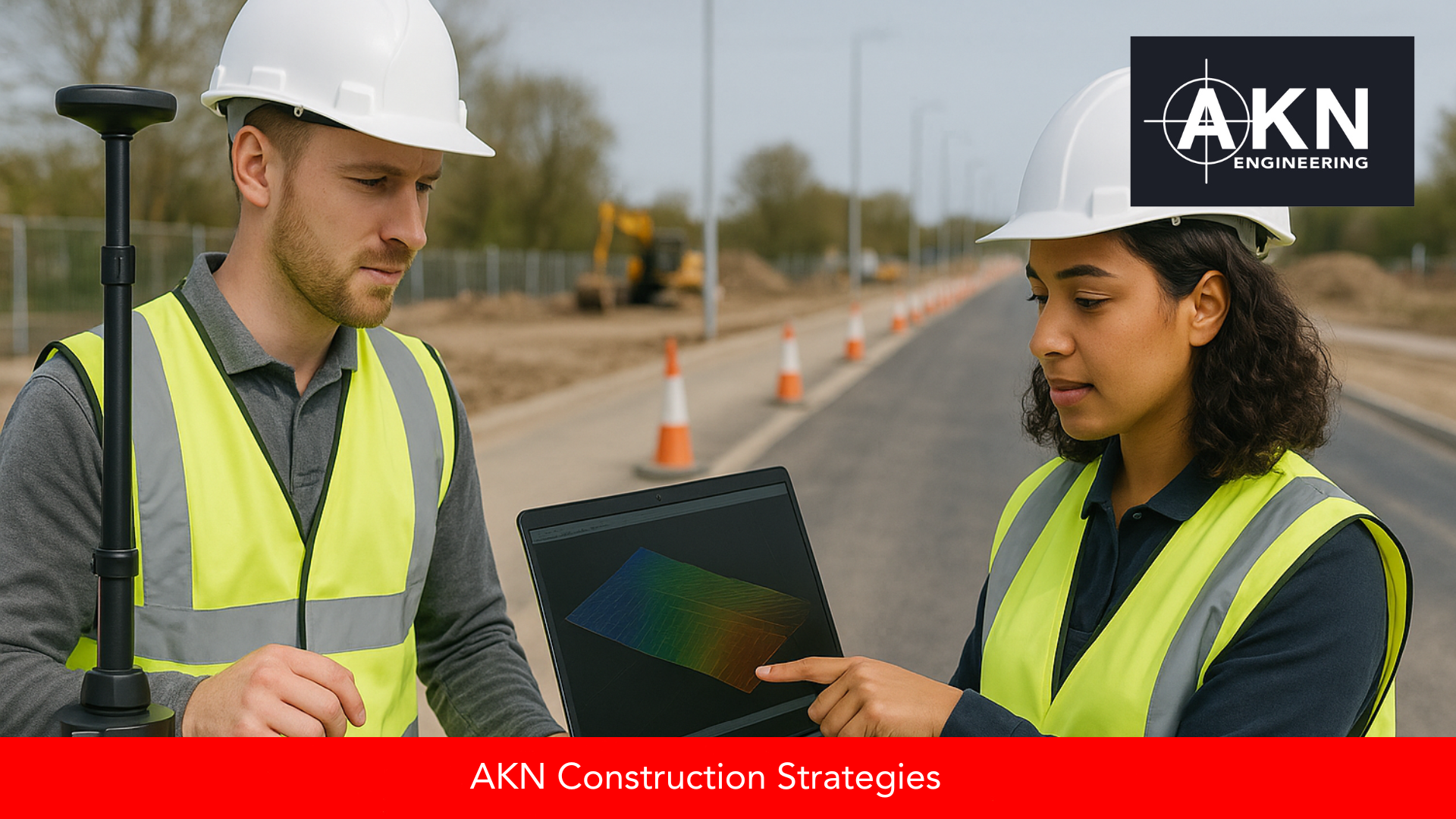
With clean data in place, we build a surface model—also known as a DTM (Digital Terrain Model). This shows the natural and built levels across your site and is essential for cut-and-fill, drainage design or machine control files.
We use TIN (triangulated irregular networks) to generate the surface and apply breaklines to keep edges sharp—such as kerb lines or embankments.
If you’re working with volume analysis, this is the data that helps determine how much material needs to be imported or removed.
Step 4: Producing CAD Drawings and Deliverables
Next, we move into the CAD drawing phase. Using standard layer templates, we draw in all the features—walls, buildings, gullies, road edges, trees, etc.—and annotate where needed.
Our deliverables usually include:
DWG and PDF drawings
CSV coordinate tables
3D models if requested (for BIM or design purposes)
We ensure everything is presented clearly and professionally, using industry conventions and your title block or ours.
Step 5: Final Checks and Delivery
Before anything goes out, we run a final QA check. Are the levels correct? Are the line types and layers consistent? Has everything been annotated properly?
Only once we’re happy, the final drawings and models are sent over—usually within 5 working days of survey completion, depending on complexity.
We also keep a record of the raw and processed data for your project, so if anything changes later, we can pick up where we left off.
Why This Process Matters
On highways schemes especially, where margins for error are tight and programmes are fast-moving, clean and reliable survey data can make the difference between progress and delays.
It’s not just about accuracy—it’s about clarity, traceability and making sure the design team, site team and client are all working from the same baseline.
And if you ever need support interpreting your drawings or overlaying them onto design models, we’re here to help.
Learn More or Get in Touch
For more insights into Land Surveying and Setting out in Construction, and to explore our range of services, reach out to us via our website or call us on 01279 927 033.
We’re here to support your projects across East Anglia with dedication and highly experienced engineers.


